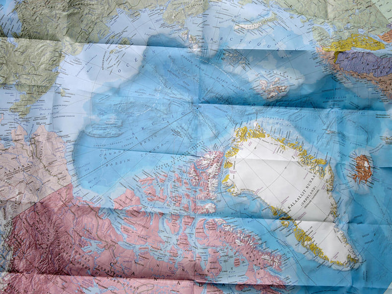
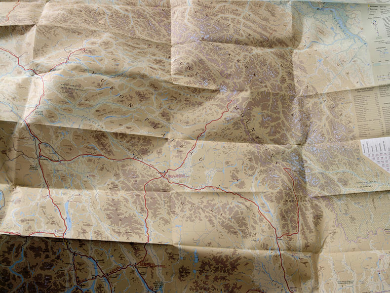
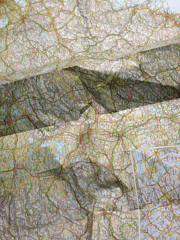
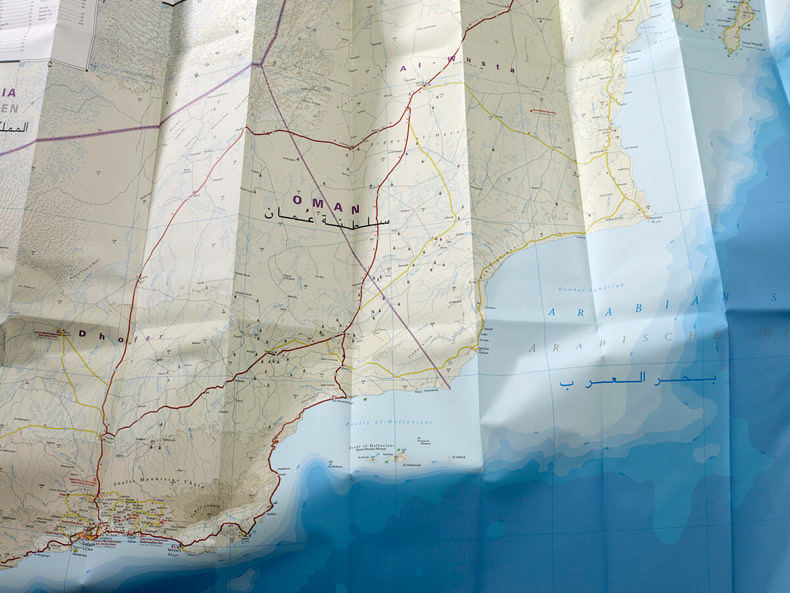
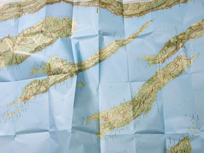
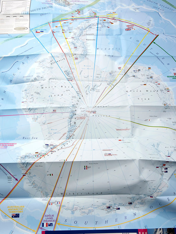
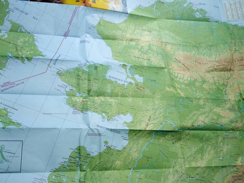
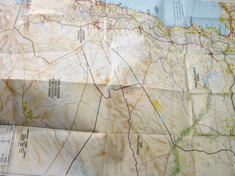
The collocation encompasses my Masters‘ project Maps, made in 2017 at the Fokwang University of Arts. The subject of this artwork is the map as a supposed carrier of information of geopolitical and economic relevance. The piece of art Maps depicts a range of contemporary folding maps and therefore implicates a specific moment in time. The map serves as a supposed carrier of information of geopolitical and economic relevance. It is an abstraction of the world which provides an insight into geography and manmade structures, but its assertions are questionable. These borders and the markings of countries often seem imaginary, the invisibility of the whole merges with the observability of a plain. A map also fulfils our desire for orientation and order.
It sets out and helps locate places, while at the same time there is a constant threat that this order disintegrates into some sort of chaos. It is interesting to note, that from a historical perspective photography and cartography have shared a parallel development. Both their ability to create seemingly objective images and the ability to transform space are strikingly similar – all the way to their digitalisation. These two qualities to create images and to separate a detail from a much bigger continuum lead to a reduction of the outer complexity of the world and also create an inner order. In order to allow the complete compendium to be displayed the presentation combines framed, panel painting sized prints and a digital monitor presentation.
All images © Kintrup Pia